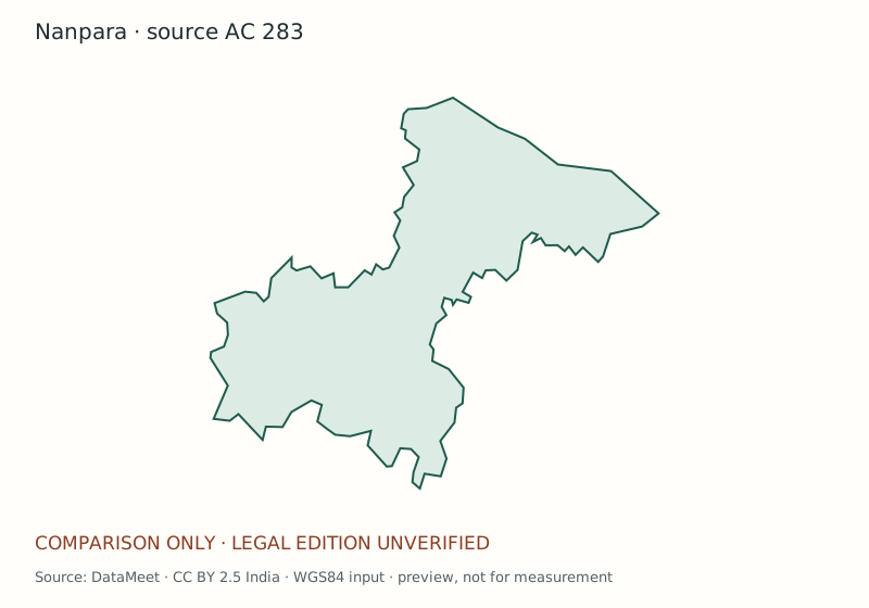
SAMPLE · NOT A CERTIFIED BOUNDARY. DataMeet community maps · CC BY 2.5 India. WGS84 input, converted to SVG. Source date and legal edition unverified. Preview only; unsuitable for measurement. https://projects.datameet.org/maps/assembly-constituencies/
Descriptive title, AC number, edition and preparation date
Locator, north arrow, scale and coordinate reference information
Boundary styles, readable labels and legend
Source attribution, coverage limits and map-sheet ID
Requested output plus provenance and unresolved-detail register
CURRENT NANPARA GAPS
Visible before purchase
Boundary
Not accepted; legal extent and amendments require review
Station directory
402 rows extracted; text review remains incomplete
Verified station pins
0
Vector redistribution
Rights unresolved
Source and use note
The outline comes from the DataMeet assembly-constituency dataset pinned at commit b3fbbde, licensed CC BY 2.5 India. Its legal vintage for the current or 2022 Nanpara boundary is not established. The production workflow requires an applicable legal description, reconciled geometry, topology review and output-specific rights before a final map or GIS file is delivered.