Inspect the available outline
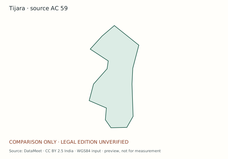
This is a comparison preview, not a certified current boundary. No polling-station coordinates or ward polygons have been added.
Download comparison preview (SVG) · Full product sampleCoverage before you order
- Geography identity
- AC 59 · Tijara; source number retained, edition match requires review
- Boundary edition / source date
- Unverified / unknown
- Prepared
- 21 October 2026 · map-catalog-2026-10-21-v2
- Verified station locations
- None supplied in this product preview
- Final PDF, GeoJSON and GeoPackage
- Pending legal-extent, geometry and output-rights review
- Availability
- Request source review; no immediate paid download
What would the final file include?
The selected map file, identifiers and edition, readable labels, legend, north arrow, appropriate scale, source attribution and a coverage/gap register. GIS files are offered only where redistribution is permitted. Station maps include unlocated records in their directory without invented pins.
The team confirms the exact format and delivery date before requesting payment. This page does not promise a completed atlas for ₹700.
Source and reuse
DataMeet community maps · CC BY 2.5 India. The preview is extracted and converted to SVG from the held public dataset. WGS84 input; approximately aspect-preserving display, unsuitable for measurement.
Versioned asset manifest · Underlying community dataset
Source SHA-256: 9d85e0d2036d45ee042a98adac1de83d5065e49836f58ebcbfcd1cf998baf254
Questions about Tijara
Does this show the current legal constituency?
The dataset's legal vintage has not been established. A final map requires the applicable delimitation instrument, amendments and reconciled geometry.
Can I get village, ward or polling-station detail?
Select that product when requesting the map. Each layer needs its own dated source and review. A name match does not establish a boundary relationship.